|
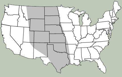
Below each wildflower photograph we have reproduced a map of the continental United States. The shaded portion of the map represents the geographic region in which the species naturally occurs or is adapted to the environmental conditions. Most varieties are capable of being grown over a much wider area than indicated. However, it is important to remember that the elements in nature are highly variable and the maps should be considered generalizations.
|